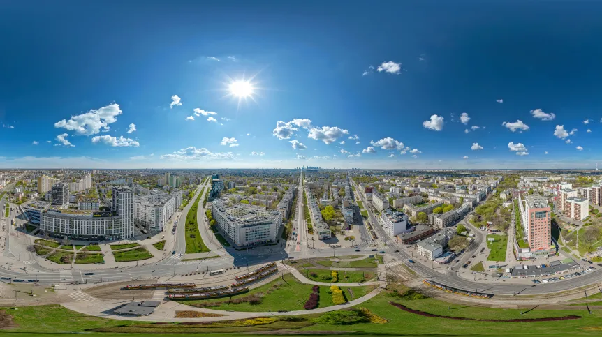
Łomianki, Wawer and part of Wilanów - in the event of a major flood, these areas of Warsaw would suffer the most, according to an analysis by geomorphologists from the Warsaw University of Life Sciences. 'A much larger area of Warsaw than most experts believe is a flood area. This mainly concerns the right bank of the Vistula', says Dr. Grzegorz Wierzbicki.
The scientist from the Department of Water Engineering and Applied Geology of the Warsaw University of Life Sciences and his colleagues have developed a special geomorphological map, which shows which areas of the capital would suffer in the event of a potential flood. In their analysis, the researchers took into account both the elevation and terrain, as well as the most likely places where flood embankments would be breached. They used data from laser scanning, the accuracy of which reaches a few to a dozen or so centimetres.
The paper by scientists from WULS-SGGW describing the research on the map has been published in the Journal of Maps.
It turns out that the right bank of the Vistula is most exposed to flooding, in particular the Wawer Bend, while on the left bank, Łomianki near Warsaw is particularly vulnerable. The areas above the Siekierki Bridge are at risk, both on its left and right sides, as is Kępa Okrzewska and Kępa Oborska, housing estates in the commune of Konstancin-Jeziorna. All of them lie on the flood terrace of the modern Vistula (marked in blue on the map included in the publication).
'These areas are vulnerable because they are also potential places where flood embankments may be breached. During large floods, they could be flooded', says Dr. Wierzbicki.
According to the researcher, during the old, great floods, associated primarily with ice jams (freezing of the river), the rising waters of the Vistula most often poured into the Wawer Bend.
'They flowed to the area of today's East Train Station, then through Targówek and Białołęka, all the way to the Narew valley', he says. As for Warsaw’s left-bank, a large part of it is so elevated that even strong river surges do not threaten it at all (these areas are marked in red on the map). 'This area was shaped thousands of years ago by glaciers and had no contact with the river at all. That is why many parts of the left bank of the Vistula are not even protected by flood embankments. They are not needed, because the bank is high enough', says Dr. Wierzbicki.
The largest part of the capital is occupied by the so-called river terraces above the floodplain (marked in yellow on the map). 'During the flood, water should not enter these areas, although they were definitely flooded in the past', the expert emphasises.
In his opinion, this is an interesting discovery because it contradicts the beliefs of most experts. Until now, it was believed that historically the terraces had not had contact with the waters of the modern Vistula. However, the research of the team from WULS-SGGW revealed numerous traces of relatively fresh river erosion in these areas.
'They were clearly created as a result of the river's activity in the modern geological period. These traces begin near Targówek, run through Białołęka, towards the Narew. We believe that during extreme floods in the past, e.g. ice jam floods, water must have also poured onto these higher terraces. It was a natural flood control channel', Wierzbicki continues.
He adds that similar disasters are very unlikely in the coming weeks. In his opinion, in the coming days the Vistula is not at risk of summer rainfall floods, such as those that southwestern Poland is currently struggling with.
'The Vistula floods, just like in the case of other rivers located in Polish lowland, i.e. in Mazovia or Podlasie, were most often caused by winter ice jams and melting snow. In recent years, such problems have been happening less often. Maybe once a decade there is a serious threat, and it usuallu affects the lower river, below the mouth of the Narew', he says.
According to Dr. Wierzbicki, for safety reasons, it is still worth building houses in potentially threatened areas with certain key elements in mind. 'They should have no basements and stand on an elevation. And we have to take into account that the lower floors may be flooded after all', he says. He also emphasises that flood embankments are effective until they are breached.
'Our map can be considered groundbreaking because we have clearly shown that the areas considered by most experts in this industry as flood terraces, i.e. Praga Północ, Targówek or Białołęka, are also potentially floodplains during a more extreme flood’, he says.
'Thanks to it, we also show all services responsible for water management, insurers, developers and people who buy apartments and build houses, where in Warsaw they can face a disaster related to flooding. This was one of our goals.’
A video featuring Dr. Wierzbicki on the Warsaw flood map can be viewed here. (PAP)
PAP - Science in Poland, Katarzyna Czechowicz
kap/ agt/ mhr/ kap/
tr. RL


