A new map of tree crowns in Poland has been launched as an online app.
Called the Regional Tree Crown Map, the app lets users go to any part of the country and zoom in to get a birds eye view of the trees as well as information about their height, volume, health, species, trunk location, and diameter-at-breast height.
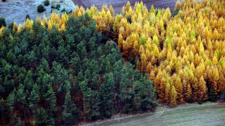
Around 3.3 billion tree crowns, the height of which exceed 4 m, and the area of their crowns greater than 9 m2, have been included in the map, with the tallest being identified as a Douglas fir (a conifer in the pine family) standing 59.4m tall.
Growing in the Bardzkie mountains (in the Central Sudetes), its height is comparable to a 20-storey building.
Developed by MGGP Aero, and its co-creator is Dr. Dominik Kopeć, a professor at the Department of Biogeography, Paleoecology and Nature Conservation, the map was put together using airborne laser scanning data from the Head Office of Geodesy and Cartography.
The laser which measured the height and area of tree crowns from an altitude of about 1 km, was installed on a manned aircraft.
Between 2011-2020, over 3.3 billion crowns of trees were inventoried, with a total area of 9,669,476.2 ha, which is 30.92 percent of the country's area.
The map’s creators say that the app can be used by both hobbyists and professionals, for example to support the processes of Poland's adaptation to climate change.
It can also be useful to green area managers of local authorities, infrastructure managers and nature conservation services.
The map is available here: https://app.mytreemap.com/
PAP - Science in Poland.
lt/ agt/ kap/
tr. RL