AI algorithms combined with satellite Earth observation systems effectively detect diseases of peatland vegetation, according to research conducted by scientists from the Remote Sensing Centre of the Institute of Geodesy and Cartography.
The authors of the research project are Dr. Maciej Bartold and Marcin Kluczek, who presented their results in the journal Ecological Informatics. The scientists conducted satellite modelling of chlorophyll fluorescence in vegetation in selected peatlands covered by the Ramsar Convention. It turns out that this method makes it possible to effectively locate areas of grass rust.
'Chlorophyll fluorescence is a phenomenon in which chlorophyll - the green plant pigment responsible for photosynthesis - emits light after absorbing light energy. In this process, only part of the energy is used for photosynthesis; another part is radiated as light of a different wavelength, usually red-shifted,’ the researchers say.
This phenomenon can be used in environmental studies because the intensity of fluorescence can indicate the health of plants. 'Changes in fluorescence signal stress caused by drought, pollution or disease, which allows scientists to assess the impact of various environmental factors on vegetation. The use of satellite data allows them to monitor large areas, which is crucial for quick identification and response to threats to plants and the environment,’ Dr. Maciej Bartold says.
The development of satellite technologies has opened up new possibilities for monitoring large land areas in a repeatable and systematic way. One of the Earth observation systems is the European Commission's Copernicus programme, which includes the Sentinel-2 constellation of satellites that obtain optical images for the entire world.
'One of the key indicators of chlorophyll fluorescence, related to the health of plants, is the parameter that indicates the maximum quantum yield of photosystem II (Fv/Fm). In order to accurately model it, researchers used advanced artificial intelligence algorithms, including XGBoost. However, the key to the effectiveness of this approach was also the use of remote sensing spectral indices developed on the basis of multi-time series of Sentinel-2 satellite data,’ the researchers say.
This combination of advanced machine learning methods and satellite data enabled precise modelling of chlorophyll fluorescence, which is important for monitoring plant health and understanding changes in ecosystems on a global scale.
The analyses show that plant indicators based on spectral reflectance values in very narrow ranges of blue, red, near and mid-IR radiation play a key role in modelling chlorophyll fluorescence.
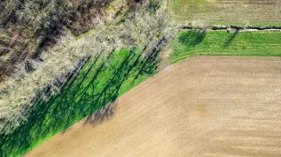
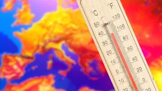
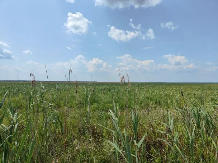
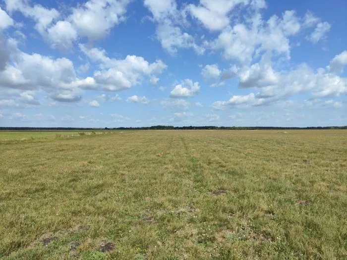
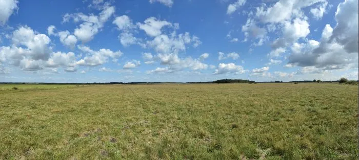
'In September 2023, after a long period of warm, sunny days without rainfall combined with high humidity in the peat bogs, areas affected by grass rust were identified. Fungal diseases develop most intensively at high humidity and temperatures ranging from 20 to 30 degrees Celsius,’ the scientists say.
They explain that plant diseases are often not easily detected based on individual plant indicators. 'However, by analysing time series and using different spectral ranges that feed the database of variables in the machine learning algorithm, we are able to precisely locate areas of grass rust occurrence,’ they add.
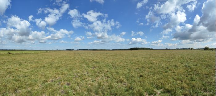
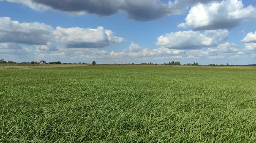
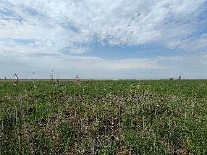
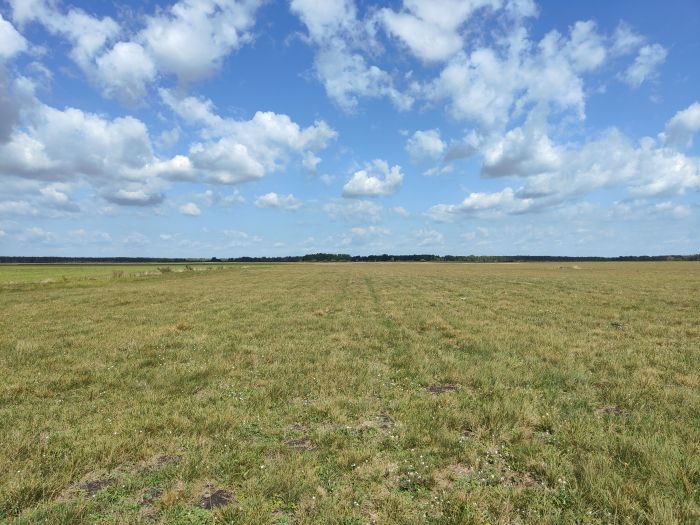
The research results were verified by field observations and ground measurements of chlorophyll fluorescence using a fluorimeter. Field research was carried out in the Biebrza National Park in 2023 as part of a grant from the Institute of Geodesy and Cartography Own Research Fund. The newly developed model allows scientists to monitor the state of peatland vegetation in other wetland areas covered by the Ramsar Convention.
The authors of the model also presented the results of their analyses at an international workshop organized at the headquarters of the European Space Agency (ESA), which focused on the upcoming FLuorescence EXplorer (FLEX) mission. The goal of this mission is to conduct satellite monitoring of photosynthetic activity and the health and stress of vegetation. This is particularly important for better understanding of the global carbon cycle, but also for effective agricultural management.
Peatlands are extremely important for climate protection and biodiversity - they play a key role in storing huge amounts of carbon because they absorb carbon dioxide from the atmosphere. 'When peat bogs are properly hydrated, decomposition processes are slow, which favours the accumulation of peat, i.e. organic matter of plant origin, and binds a significant amount of carbon dioxide. Unfortunately, the drainage of peat bogs in recent decades has led to the acceleration of these processes, resulting in the release of accumulated carbon in the form of carbon dioxide, which in turn contributes to climate change,’ says Marcin Kluczek, a specialist at the Remote Sensing Centre.
According to the World Wide Fund for Nature (WWF), peatlands store about 30 percent of the total amount of carbon accumulated on land, while they occupy only about 3% of land area in the world. Moreover, they are a valuable refuge of biodiversity - according to BirdLife International, peatlands are a habitat for over 10,000 species of plants, 12,000 species of animals and 1,000 species of lichens.
Find out more in the paper 'Estimating of chlorophyll fluorescence parameter Fv/Fm for plant stress detection at peatlands under Ramsar Convention with Sentinel-2 satellite imagery' (https://doi.org/10.1016/j.ecoinf.2024.102603). (PAP)
bar/ zan/ kap/
tr. RL
Gallery (4 images)
-
 1/4Credit: Marcin Kluczek
 -
 2/4Credit: Marcin Kluczek
 -
 3/4Credit: Marcin Kluczek
 -
 4/4Credit: Marcin Kluczek

