
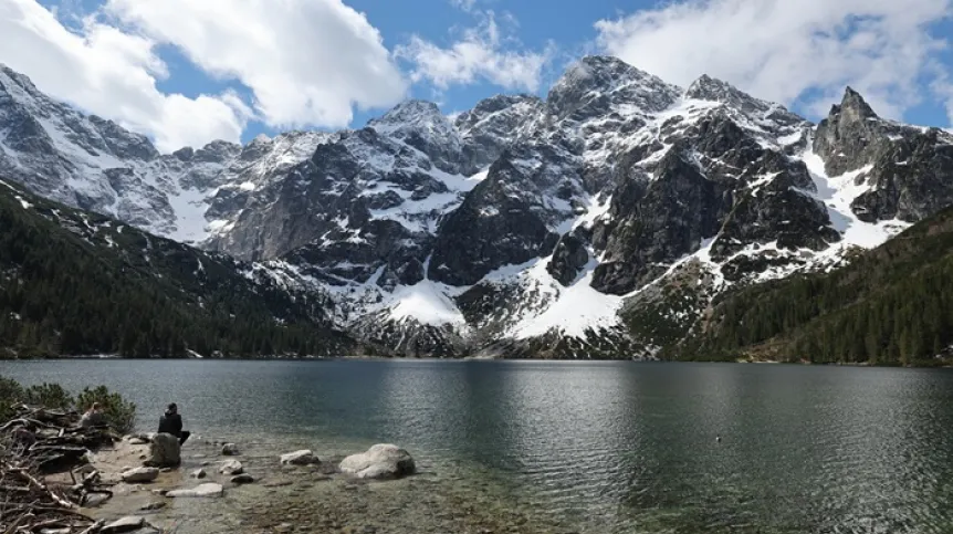
Scientists from Poland and the United States have found that rivers were primarily responsible for deepening the valleys on the northern side of the Tatra Mountains, while glaciers later widened and reshaped the existing terrain.
The findings, based on an analysis of sediments preserved in Tatra caves, provide new data on how the mountains evolved over the past 5 million years.
The study, published in Earth and Planetary Science Letters, addresses a question that geologists have debated for more than a century: what role did glaciers actually play in carving mountain valleys?
Glacial activity leaves clear traces in mountain landscapes, including wide valleys, steep rock faces and glacial cirques. But it is more difficult to determine whether glaciers created deep valleys or primarily reshaped terrain that had already been cut by rivers.
‘For over a hundred years there has been a debate on the significant role of glaciers in shaping mountain landscapes. Our results suggest that in the Tatras, rivers were primarily responsible for deepening valleys, while later glaciers mainly widened existing valleys and gave them their distinctive appearance. Although such hypotheses have been proposed before, our research not only confirms them but also provides numerical data on changes in the rate of incision over the past 5 million years’, says Jacek Szczygieł, PhD, from the University of Silesia, the first author of the publication, quoted in the press release.
The researchers used sediments preserved in caves as a geological record of past landscape development.
Millions of years ago, ancient rivers flowed through underground passages, depositing sand and gravel containing quartz grains. After the passages were cut off from the active river system, the sediments remained preserved, providing evidence of earlier stages of valley development.
The researchers collected samples from 32 sites in 20 caves on the Polish and Slovak sides of the Tatra Mountains.
Laboratories in the United States measured the cosmogenic isotopes beryllium-10 and aluminium-26. These isotopes can be used to determine how long the sediments remained buried beneath the Earth's surface.
The measurements allowed the researchers to reconstruct the rate at which the valleys deepened over the past 5 million years.
But the rate was not constant. During the Pliocene and early Pleistocene, rivers cut into the subsurface relatively slowly. The most rapid deepening occurred between approximately 2 million and 1.6 million years ago.
By that time, around 80% of the present-day depth of valleys on the northern side of the Tatra Mountains had already been formed.
This means that most of the main valleys were already deeply cut before the most intense Pleistocene glaciations began.
The findings therefore indicate that the main phase of valley formation was not associated with the activity of large glaciers. Instead, glaciers later modified the landscape by widening existing river-cut valleys and giving them their characteristic form.
The researchers emphasise that although the study concerns the Tatra Mountains, its implications may extend to other mountain ranges.
Similar studies could help address a broader question in geomorphology: whether glaciers were the main force responsible for forming mountain valleys worldwide, or whether in many cases they primarily reshaped landscapes that had already been formed by rivers.
Scientists from the University of Silesia, the University of Wrocław, the Institute of Geological Sciences of the Polish Academy of Sciences, Syracuse University, the University of Vermont, the Colorado School of Mines, Lawrence Livermore National Laboratory and Purdue University participated in the study.
The project was funded by the Polish National Science Centre and the US National Science Foundation. (PAP)
ekr/ zan/
tr. RL